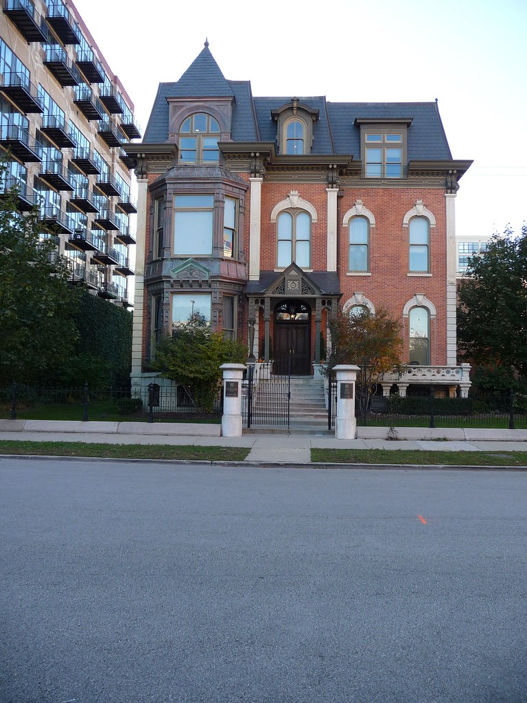
Just a quick post on this, since it's early & I am still groggy and consuming coffee. (Yeah, I was up late last night for no really good reason.) We're kind of right in the middle of a lot of interesting stuff architecturally, so we've been taking walks that involve lots of photos. And I try to be good about uploading and tagging these photos. And geotagging them as well, as evidenced in the picture above. You can see more of my map here: http://www.flickr.com/photos/emmakat/map/
In my opinion, the interface is clunky (only a handful of photos show up at one time) but I still enjoy playing with flickr's map feature. From the link above, in the bottom right there's a blackened tab that says "Search the map" which gives you a few options on how to search. Within my maps, I recommend looking up photos "taken in" Chicago, Italy, Washington, Utah or Colorado. Italy in particular was fun, though difficult because I did it last year from what I could recall about an undergraduate quarter long trip in 2002. This tagging was one of the first activities that got me hooked on Flickr.
I wish I could provide specific links to each of those, but unfortunately it's not set up like that. I hope eventually it will be less clunky, but for now I'm happy to know pretty specifically where I've been. (oh, also zoom in, I try to get as specific as I can) Alternatively, on most of my outdoor photos on the right you'll see the neighborhood listed under additional information, with a link to a map that will show you where that picture was taken. Anyway, thought I would try to share this, since I'm not to sure it's a feature most people are aware of or use. I certainly enjoy it, even if it's mainly for my own reference!


No comments:
Post a Comment